How it works

Drone Harmony's unique scene-centered workflow makes planning easy even in the most complex scenarios.
  • Step 1: Draw a task
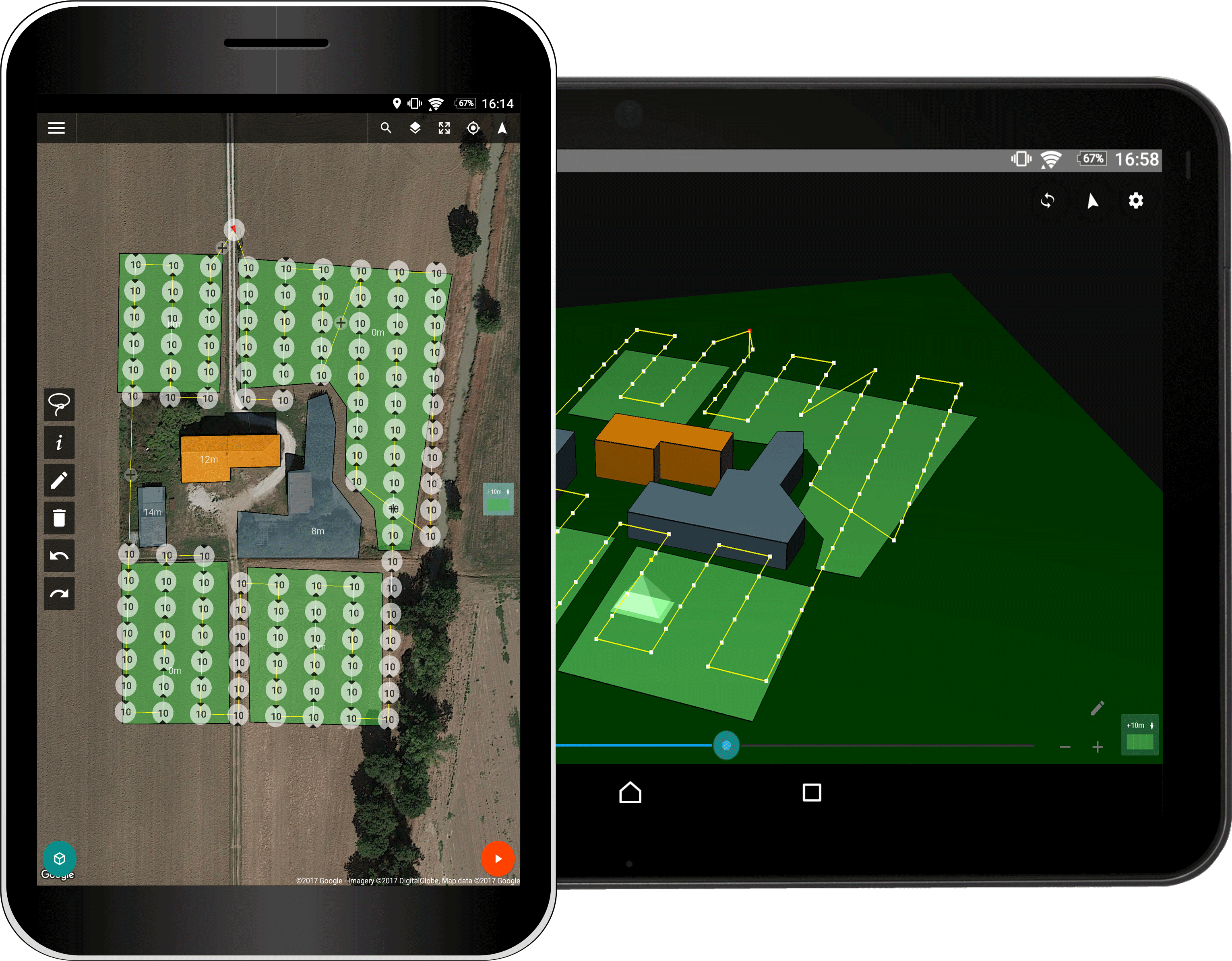
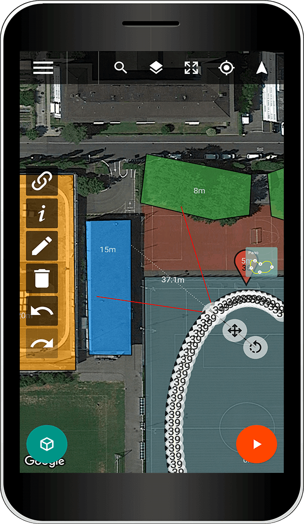
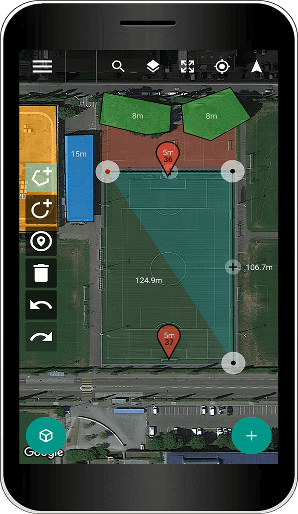
    Draw areas of interest (buildings, farm fields,...) and surrounding obstacles (trees, buildings,...) on the map.
  • Step 2: Choose a plan
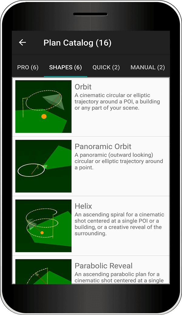
    Choose among many cinematographic and professional flight plans. Let Drone Harmony tailor your plan to your scene.
  • Step 3: Review/Adjust plan
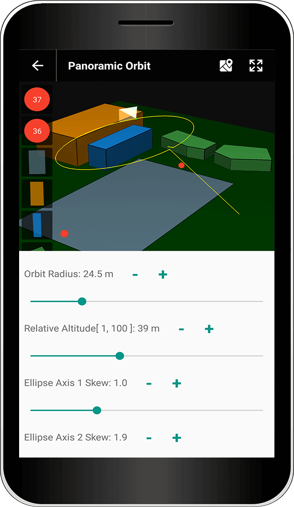
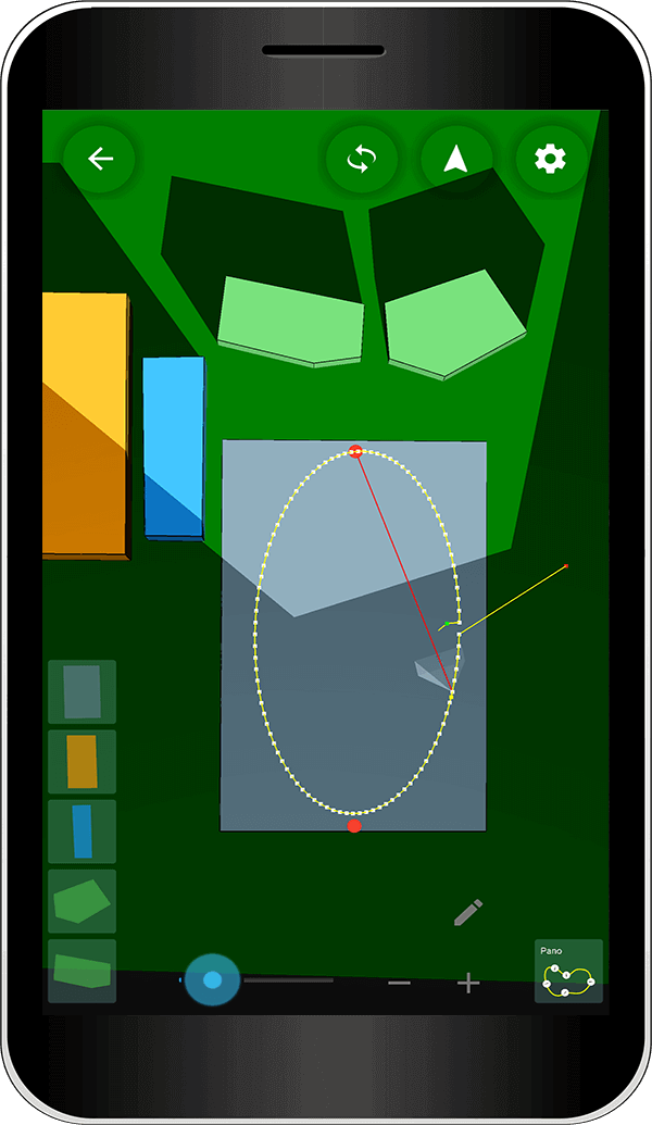
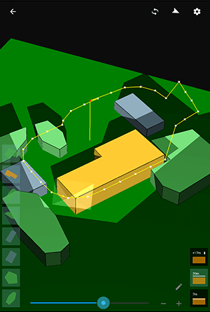
    Review the animated flight plan in 2D and 3D views and adjust it with simple tools.
  • Step 4: Execute Flights
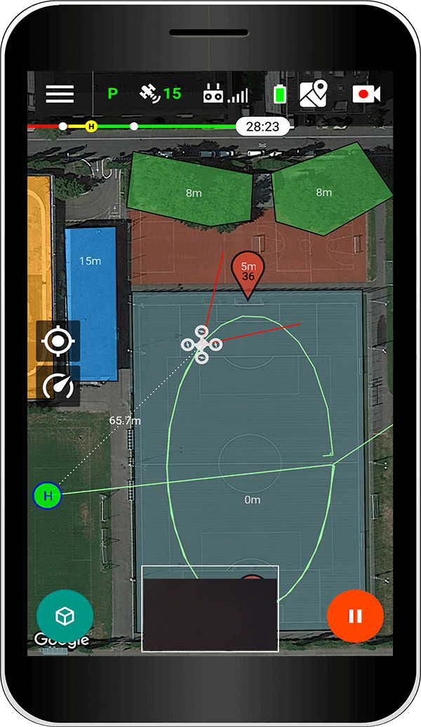
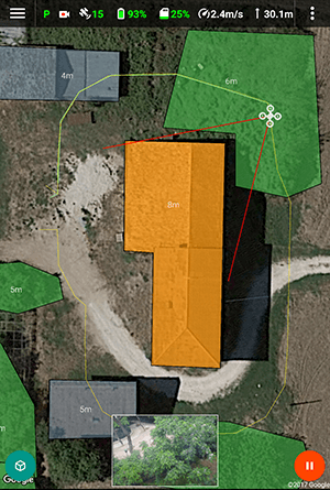
    Let Drone Harmony automatically fly the plan and record data for you. Pause, adjust and resume at any time.
Area creation
Plan catalog: Shapes
Plan generation in 3D
3D view of projections
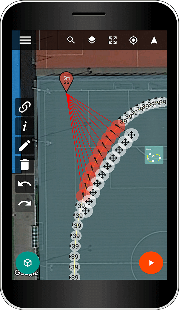
Map editing
Point of interest
Flight view

KEY FEATURES

Planning and flying is all about getting high quality data quickly and consistently.

  • Flight Planning for Professionals
    Generate flight plans for many professional use cases with a single click.
  • Full 3D Work Environment
    Plan and visualize both scene and flight plans in 3D for accurate and predictable results.
  • Stunning Cinematographic Videos
    Create professional videos with movement smoothing and ready to fly cinematographic flight plans.
  • Get Better Data Faster
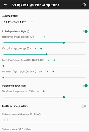
    Generated flight plans are optimized for accuracy and flight time and can be adjusted easily in any way.
  • Obstacle Avoidance
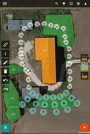
    Reduce obstacle avoidance to obstacle drawing and let Drone Harmony compute optimal flights around them.
  • Elevations
    Constant relative ground distance for better 3D models and orthomosaics.

Flight Plan Catalog

Choose from a large and ever growing variety of flight plans tailored to different use cases.
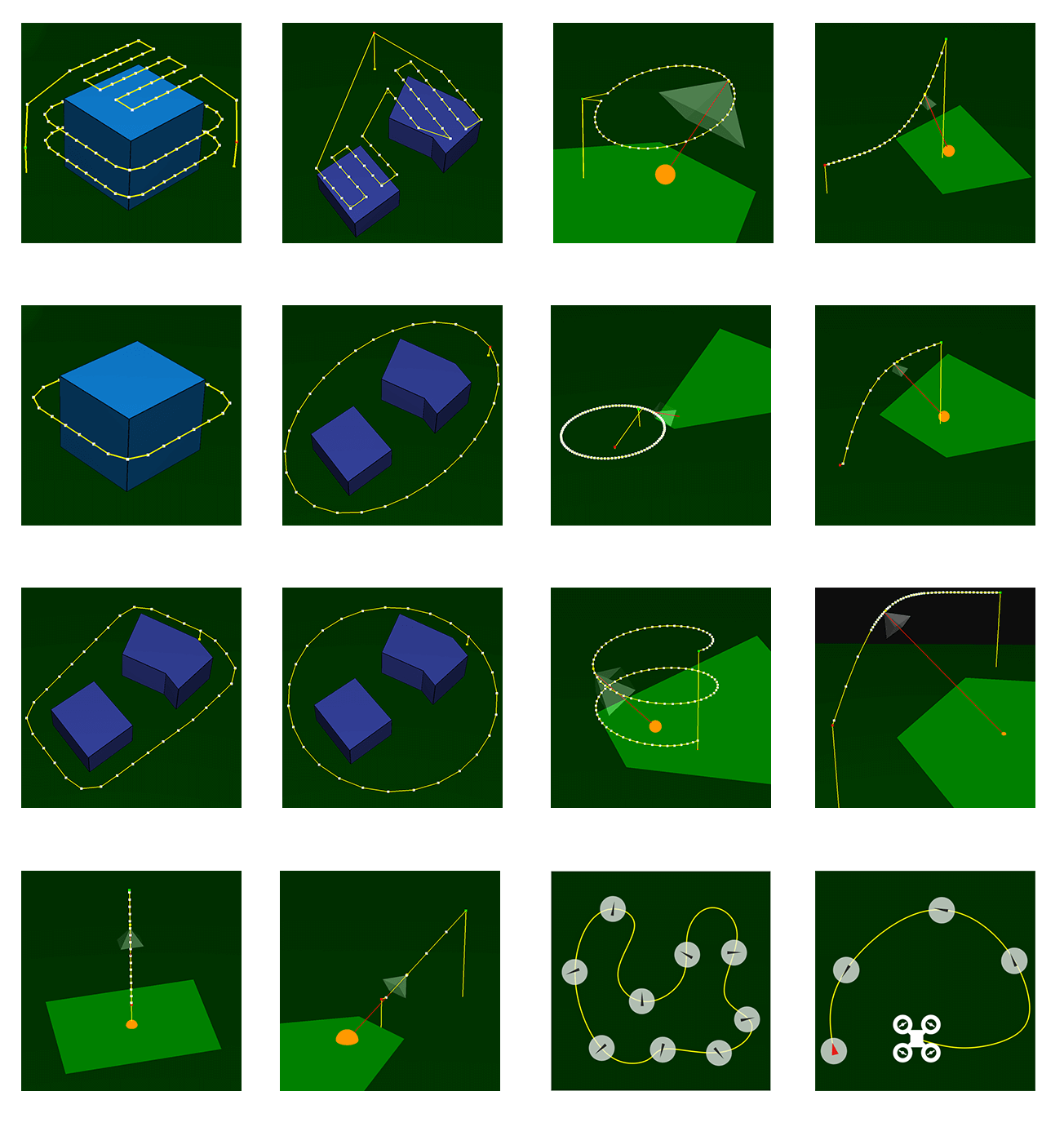
Professional ( Learn more )
  • Structure inspections
  • Area surveys
  • Mapping
  • 3D modelling
Quick Launch
  • Selfies
  • Spontaneous videography
Flight Plan Types
Cinematographic Shapes
  • Scenic smooth videos
  • Landscape panoramas
  • Selfies
  • Real estate videography
Manual
  • Manual waypoint mission
  • Smooth waypoint missions from manual flying

Visualize and adjust flight plans in an interactive 3D interface. Generated flight plans are optimized for the scene and include obstacle avoidance.

Recording Modes

When executing a flight different modes for recording footage are at your disposal. The choice is yours!

Stop & Shoot

Stops at every waypoint and shoots pictures (RGB / HDR).
Improves quality of pictures.

Fly-By & Shoot

While passing by waypoints shoots pictures (RGB / AEB).
Reduces flight time.

Interval shooting

Shoots at every x seconds (or meters) a picture (RGB).
Increases coverage along flight.

Video

Records video and reduces speed at turning points. 
Based on smooth plans.
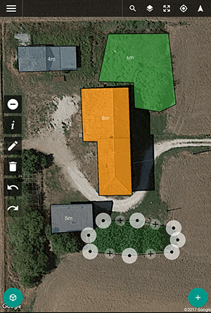
Application Screenshots

Demo Video

How simple is it to make a video with Drone Harmonys mission planner? See for yourself.

Contact Us